You steered to:

Northwest of Seattle, Washington, the San Juan Islands are nestled between mountain ranges to the North, South and to the East.
The protected waters that surround this archipelago are a closely guarded secret of those who have discovered this Northwest oasis. Although the Pacific Northwest receives a significant amount of rainfall, these cruising areas are situated in the lee of three different mountain ranges that create a rain shadow yielding a wonderful micro climate.
This Northwest “Banana Belt” includes areas with annual precipitation of 15″ or less. This region also enjoys a very comfortable temperature range year-round. Combine these characteristics with the native wildlife and majestic scenery, and you have a recipe for some of the world’s finest cruising.
Here are few helpful weather related links:
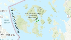
NOAA – Marine Weather
The National Weather Service site shows weather forecasts for selected locations across the US. Select the chart above to see forecasts for the San Juan Islands.
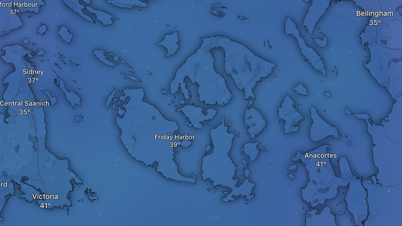
Windy.com
Windy is available as a mobile app or a desktop app to view detailed data such as wind speed, wind direction, temperature, swell, rainfall and much more.
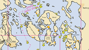
DeepZoom.com
This site includes a weather forecast feature, but it is a really great resource for forecasting tides and current to help you better plan your trip and navigate the channels and passages in the San Juan and Gulf Islands.
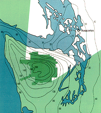
The above illustration shows the storm-blocking effects of the Olympic Mountains. While the precipitation at the Olympic’s peaks increases to 200 inches, the phenomenon commonly called the “Banana Belt” effectively reduces the precipitation in the San Juan Islands, producing a much sunnier climate in this rain shadow.
For comparison, below is a list of annual rainfall in several cities across the United States.
| Anacortes | 28" |
| Chicago | 31" |
| Dallas | 32" |
| Miami | 59" |
| New York | 40" |
| Portland | 37" |
| San Francisco | 18" |
| Seattle | 35" |
| Vancouver | 46" |
| Victoria | 28" |